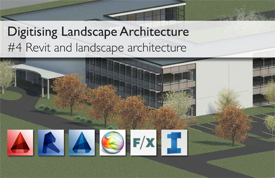
s revit really helpful for landscape architects? Basically, the most of the landscape architects are reluctant to use revit for their projects as it lacks sufficient site tools. But Revit is purposely designated for Building Information Modelling (BIM), facilitating building professionals to design, construct and preserve superior and more sustainable buildings.
Revit can provide the following benefits to a landscape architect:-
The most striking factor of Revit is that it’s Central Model' facilitates various project stakeholders to perform with diversified elements of the model and at the same time gathering all the information under one central model. So a landscape architect will be able to model exterior design components like topography and vegetation whereas the architect will be on the building. With the advancement of the project, the Central Model will be converted into a complete model. One can get rid of providing numerous drawings and continuously sending This would save the need to have multiple drawings, and to be constantly sending restructured plans from side to side.
Revit can be utilized to produce phased drawings. There are several projects which involve numerous phases of building/site construction. Revit empowers the users to efficiently allocate a phase to an object and then sort out the views by phase.
Revit comes with a Toposurface tool that can be used to generate a 3D terrain model. A fundamental Toposurface is generally formed with either positioning spot levels yourself otherwise by importing 3D terrain data from another drawing. One can acquire terrain information from Google Earth and integrate inside a revit model by importing the terrain into SketchUp and exporting it to .dwg.
Revit comprises of smart object and auto scheduling features which can be applied for creating Landscape Plans easily. Sections and schedules are created directly from the model. Areas are scheduled and computed without any difficulties which save huge time as well as probable errors. Details are generally prepared by the drafting views and function like CAD Drawings. The details are much easier to build in Revit with the application of detail components.
One can take superior informed design decisions at initial phase of the project through coordination and clash detection of utilities and drainage (both existing & proposed), trees root zones, levels, attenuation tanks, retaining walls, building interface.
With these above parametric objects, there is a database of information to be applied for detailing, construction estimating, procurement, future maintenance requirements, etc. Besides, as the workflow of Revit is focused on the formation of a virtual 3D model of the design, modifications made to this design can be forwarded across numerous drawings (plans, sections, 3D views), which result in achieving superior work efficiency.
Revit maintains superior graphic quality with its walk-through features and rendering capabilities which are high-class and exceptionally realistic. Revit can also depict extremely precise solar and lighting studies.
~~~~~~~~~~~~~~~~~~~
Published By
Arka Roy
www.bimoutsourcing.com
~~~~~~~~~~~~~~~~~~~